
INTEGRATING TODAY'S TECHNOLOGY WITH THE STUDY OF THE PAST
Lunate Consulting provides technical and traditional field services to the archaeological community. From geophysical survey and photogrammetry to excavation and geographic information systems (GIS) support, contact us to find out how we can enhance your project.
WHAT WE DO
We love getting dirty and putting our archaeological field experience to good use. If you need skilled excavators and field surveyors for an upcoming project, please don't hesitate to let us know. But excavation and survey is not all we do. Some of our technical service offerings are listed below and we look forward to adding new ones in the near future.

Ground-Penetrating Radar (GPR)
GPR is a non-intrusive means of producing profiles and 3D models of the subsurface environment. We use this technique to locate structural remains, unmarked graves, and other shallow features as well as provide insights into the depositional and geological context of a site.

Magnetometry
Magnetometry is a rapid and reliable means of assessing a site for archaeological potential, pinpointing features of interest for subsequent excavation, and mapping subsurface features over large areas.

Precision Survey and GIS
Spatial data collection and processing are important parts of archaeological fieldwork. We're equipped to handle a variety of survey work requiring high accuracy (dm to cm), no matter how remote. If you require assistance compiling your data together in a GIS for analysis and map production, we can help there, too.
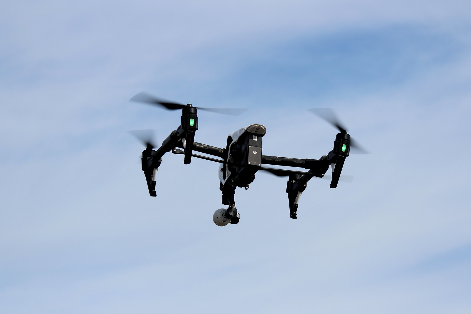
UAV Support
We offer a variety of UAV services to support your project including photography, photogrammetry, multispectral and IR imaging, LiDAR, and more.
CONTACT US
If you'd like to know more about what we offer, want to discuss a project, or would like to get in touch for any other reason, please send us an email: